Skip to primary content
Friends of the Roman Road and Fleam Dyke
frrfd.org.uk
Search
Main menu
Home
The Friends
Background to the Friends
Newsletters
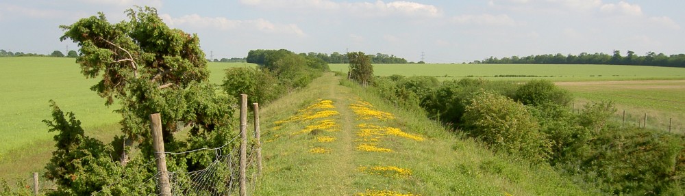
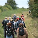
The Walk
Getting there
Guide Book
Food and Drink
Accommodation
Route updates
Archaeology and History
Fleam Dyke
Roman Road
Flora and Fauna
Flora
Flowers
Insects
Butterflies
Butterfly monitoring
Butterfly Transect Data Summary 2025
Other species
Species lists
Contacts and links
Image navigation
← Previous
Next →
Walkers group
Published
January 24, 2012
at
150 × 150
in
The Walk
Like
Loading...
Leave a comment
Δ
Friends of the Roman Road and Fleam Dyke
Sign up
Log in
Copy shortlink
Report this content
Manage subscriptions
%d

